Oakland sits on a complex mix of Franciscan Complex bedrock overlain by colluvial and alluvial deposits, with steep hillsides in the eastern neighborhoods. The city's average annual rainfall of 24 inches and seismic setting mean debris flows are a real threat after heavy storms or earthquakes. We combine field mapping, laboratory index testing, and numerical modeling to evaluate initiation zones, runout distances, and deposition areas. For hillside developments, we often pair this with drainage geotechnical assessment to control surface water infiltration.
In Oakland, the Franciscan mélange creates weak zones that can mobilize as debris flows after just 2 inches of rain in 24 hours.
Approach and scope
Site-specific factors
In Oakland's hills, we often see debris flows start in unchanneled swales where colluvium accumulates. The Franciscan mélange creates weak zones that can mobilize after just 2 inches of rain in 24 hours. Many homeowners don't realize that removing vegetation or altering drainage upslope increases risk. Without proper analysis, you could face property damage, blocked roads, or worse. We've mapped over 50 historic debris flow paths in the city to refine our models.
Relevant standards
ASTM D4318 (Atterberg Limits), ASTM D3080 (Direct Shear), FHWA-NHI-05-037 (Slope Stability), USGS Debris Flow Hazard Guidelines
Related technical services
Hazard Zonation Mapping
GIS-based mapping of initiation zones, runout paths, and deposition areas using LiDAR and field verification. Delivered as a report with clear risk levels.
Runout Modeling
Numerical modeling using FLO-2D or DAN3D to simulate debris flow velocity, depth, and impact forces for specific watersheds in Oakland.
Risk Assessment for Development
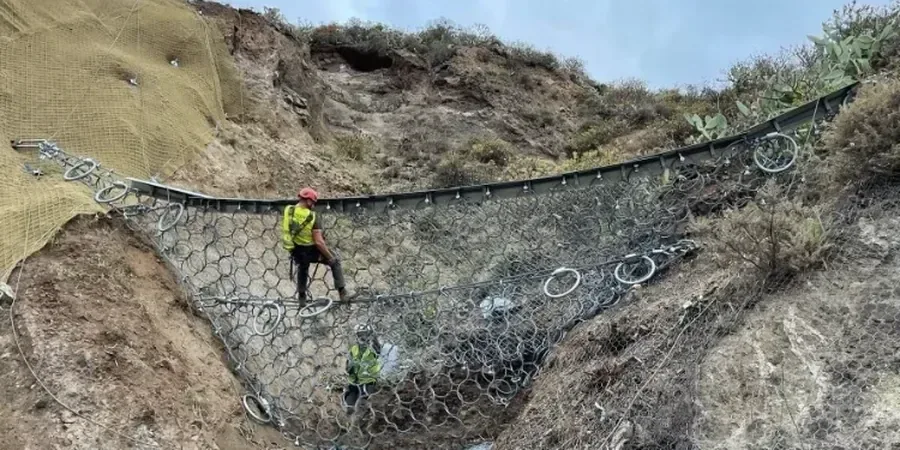
Site-specific evaluation for new homes or infrastructure in hillside areas, including recommendations for deflection walls, basins, or channel armoring.
Post-Fire Debris Flow Analysis
Burn-area assessment after wildfires, combining soil burn severity mapping with rainfall thresholds to predict debris flow likelihood.
Typical parameters
FAQ
What is the cost of a debris flow analysis in Oakland?
A standard debris flow analysis for a single residential parcel in Oakland ranges from US$1,240 to US$4,190, depending on site complexity and modeling requirements. Larger watershed studies cost more.
How long does a debris flow analysis take?
Typical turnaround is 2 to 4 weeks from site visit to final report. Post-fire analyses can be expedited to 1 week if needed, given the urgency in Oakland's burn areas.
Do I need a debris flow analysis for a new home in the Oakland hills?
Yes, if your lot is on a slope over 15% or in a mapped debris flow hazard zone. The city of Oakland requires a geotechnical report for new construction in hillside areas, and debris flow analysis is often part of that assessment.
What triggers a debris flow in Oakland?
The main triggers are intense rainfall (over 0.5 inches per hour), rapid snowmelt on Mount Diablo watersheds, and seismic shaking from the Hayward Fault. Post-fire conditions drastically reduce the rainfall threshold.